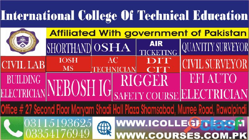
CIVIL SURVEYOR COURSE IN BAAG MUZAFFARABAD IN RAWALPINDI
CIVIL SURVEYOR course in baag muzaffarabadInternational college Of Technical Education Offer Diploma in information techonogy (DIT) in Rawalpindi Taxila Wah 03115193625
Best Diploma in information techonogy (DIT) in Rawalpindi Islamabad Pakistan professional traning Diploma in information techonogy (DIT) in Rawalpindi
Islamabad Taxila Wah 03354176949 Admission open for boys and girls new session started coming soon
ITI Surveyor is a job oriented, technical certification course related to the construction sector, after which students are likely to get a government job as well as a private job. The job of the surveyor is to determine the boundary of any land
Surveyors update boundary lines and prepare sites for construction so that legal disputes are prevented. Surveyors make precise measurements to determine property boundaries. They provide data relevant to the shape and contour of the Earth's surface for engineering, mapmaking, and construction projects
Candidates should have done diploma in Civil Engineering of three years duration or ITI in Land Surveying of two years duration from any recognized institution recognized by the State Board of Technical Education
Although most quantity surveyors have a bachelor's degree in a relevant field, becoming a quantity surveyor without a degree is possible. Instead of getting a formal education, you must gain related work experience instead.
Surveying or land surveying is the technique, profession, and science of determining the terrestrial or three-dimensional positions of points and the distances and angles between them. A land surveying professional is called a land surveyor. These points are usually on the surface of the Earth, and they are often used to establish maps and boundaries for ownership, locations, such as building corners or the surface location of subsurface features, or other purposes required by government or civil law, such as property sales.Surveying has been an element in the development of the human environment since the beginning of recorded history. The planning and execution of most forms of construction require it. It is also used in transport, communications, mapping, and the definition of legal boundaries for land ownership. It is an important tool for research in many other scientific disciplines.
Course Outline:
1. Introduction to civil Technology
2. Engineering Materials
3. Building Structures
4. Components of Buildings
5. Water Supply & Drainage
6. Highways Engineering
7. Highway project surveys & alignment
8. Engineering Drawing
9. Geometrical Drawing
10. Pictorial Drawing
Course Modules:
Course Outlines of Civil & Land Surveyor Course:
1:Introduction Civil Surveyor
2:Classification of survey
3:Civil Serveyor
4:Principles of survey
5:Chain survey
6:Plotting of chain survey
7:Compass survey
8:Bearing system
9:Drawing Scales
10:Types of scales
11:Leveling
12:Technical terms
13:Purpose of Leveling
14:Plain table survey
15:Methods of plane table survey
16:Adjustment of Levels
17.Total Station Practical Training
18.Auto Level / Theodolite Training
19. GPS Practical Training
Fee=25000
DURATION=3 MONTH
For Registration: 0092-311-5193625 / 0092-335-4176949
http://www.icollegete.com/course/civil-surveyor-diploma-course-in-pakistan/
4.00/5
1 reviews


⟩
Photo 1 / 7


CONTACT


